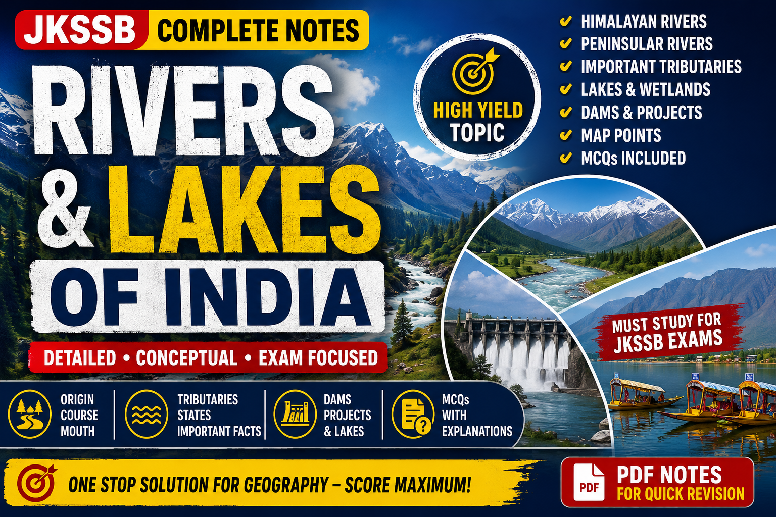
Rivers and Lakes of India – Complete Notes for JKSSB by jk exam library
Introduction
Rivers and lakes are among the most important topics in Indian Geography for JKSSB examinations. Almost every competitive exam in Jammu & Kashmir includes questions related to:
- Major rivers of India
- Tributaries
- River origin and drainage
- Important lakes
- Dams and multipurpose projects
- River valley civilizations
- Wetlands
- Freshwater and saltwater lakes
- Himalayan vs Peninsular rivers
- River-related states and cities
This topic is extremely important because rivers influence:
- agriculture
- climate
- settlements
- transport
- irrigation
- hydroelectricity
- culture
- economy
- biodiversity
In India, rivers are not only geographical features; they are deeply connected with civilization, religion, economy, and political development.
For JKSSB aspirants, conceptual understanding is more important than rote memorization because examiners now increasingly ask analytical and matching-type questions.
Download Complete notes for geography
Understanding the Drainage System of India
What is a Drainage System?
A drainage system refers to the network of rivers and tributaries that drain water from a particular area into seas, oceans, or inland basins.
Simple Understanding
When rainwater falls on mountains, plateaus, or plains, it flows downhill through streams and rivers. These interconnected water channels form a drainage system.
Major Drainage Systems of India
India has two major river systems:
| River System | Main Region |
|---|---|
| Himalayan Rivers | Northern India |
| Peninsular Rivers | Southern India |
Difference Between Himalayan and Peninsular Rivers
This is one of the most frequently asked comparative topics in competitive exams.
| Himalayan Rivers | Peninsular Rivers |
|---|---|
| Originate from Himalayas | Originate from Peninsular Plateau |
| Snow-fed and rain-fed | Mostly rain-fed |
| Perennial rivers | Seasonal flow variation |
| Long rivers | Comparatively shorter |
| Create large flood plains | Flow through hard rocks |
| Meandering nature | Straight and fixed course |
| Form oxbow lakes | Form waterfalls |
| Young rivers | Old rivers |
| Example: Ganga | Example: Godavari |
Himalayan Rivers of India
The Himalayan rivers originate from glaciers and snow-covered mountains.
Because glaciers melt throughout the year, these rivers carry water even during summers. Therefore, they are called perennial rivers.
The three major Himalayan river systems are:
| River System | Main River |
|---|---|
| Indus System | Indus |
| Ganga System | Ganga |
| Brahmaputra System | Brahmaputra |
Indus River System
Introduction
The Indus River is one of the oldest river systems in the world. The Indus Valley Civilization developed on its banks.
The river originates near Lake Mansarovar in Tibet.
It flows through:
- Tibet
- Ladakh
- Pakistan
- Arabian Sea
Important Facts About Indus River
| Feature | Details |
|---|---|
| Origin | Near Lake Mansarovar, Tibet |
| Length | About 3180 km |
| Indian Length | Around 1114 km |
| Mouth | Arabian Sea |
| Major Tributaries | Jhelum, Chenab, Ravi, Beas, Sutlej |
| Important Agreement | Indus Water Treaty (1960) |
Tributaries of Indus River
Jhelum River
The Jhelum River is extremely important for JKSSB because it flows through Jammu & Kashmir.
| Feature | Details |
|---|---|
| Origin | Verinag Spring, Kashmir |
| Ancient Name | Vitasta |
| Major Lake | Wular Lake |
| Joins | Chenab in Pakistan |
Educational Insight
The Jhelum River is considered the lifeline of Kashmir Valley. Historically, many settlements developed along its banks.
Important JKSSB Point
Wular Lake, one of the largest freshwater lakes in India, is located on the Jhelum River.
Chenab River
| Feature | Details |
|---|---|
| Formed By | Chandra and Bhaga rivers |
| Origin Region | Himachal Pradesh |
| Important Dam | Baglihar Dam |
| Flows Through | Jammu region |
Important Observation
Chenab carries huge hydroelectric potential because of steep mountain slopes.
Ravi River
| Feature | Details |
|---|---|
| Origin | Himachal Pradesh |
| Ancient Name | Iravati |
| Flows Through | Punjab |
Beas River
| Feature | Details |
|---|---|
| Origin | Rohtang Pass |
| Named After | Sage Vyas |
Sutlej River
| Feature | Details |
|---|---|
| Origin | Lake Rakshastal near Mansarovar |
| Important Project | Bhakra Nangal Dam |
Quick Revision Table – Indus Tributaries
| Tributary | Important Point |
|---|---|
| Jhelum | Wular Lake |
| Chenab | Baglihar Dam |
| Ravi | Iravati |
| Beas | Rohtang Pass |
| Sutlej | Bhakra Dam |
Ganga River System
The Ganga River System is the largest river system in India.
It forms the fertile Northern Plains, which are among the most densely populated regions in the world.
Origin of Ganga
The Ganga originates as Bhagirathi from the Gangotri Glacier in Uttarakhand.
At Devprayag:
- Bhagirathi joins Alaknanda
- The river becomes Ganga
Students Often Confuse
| River | Origin |
|---|---|
| Bhagirathi | Gangotri Glacier |
| Alaknanda | Satopanth Glacier |
| Ganga | Devprayag onwards |
Important Tributaries of Ganga
Yamuna River
| Feature | Details |
|---|---|
| Origin | Yamunotri Glacier |
| Major Cities | Delhi, Agra |
| Joins Ganga | Prayagraj |
Important Point
Prayagraj is famous for the confluence (Sangam) of:
- Ganga
- Yamuna
- mythical Saraswati
Ghaghara River
Originates in Tibet and is known for causing floods in Bihar and Uttar Pradesh.
Gandak River
Flows through Nepal and Bihar.
Kosi River
Kosi is called the “Sorrow of Bihar” because of devastating floods.
Why Does Kosi Cause Floods?
The river carries heavy silt from young Himalayan mountains. This silt gets deposited in plains, changing the river course frequently.
This conceptual understanding is important because examiners sometimes ask reasoning-based questions.
Son River
| Feature | Details |
|---|---|
| Origin | Amarkantak Plateau |
| Tributary Type | Right-bank tributary |
Important Cities on Ganga
| City | State |
|---|---|
| Haridwar | Uttarakhand |
| Kanpur | Uttar Pradesh |
| Prayagraj | Uttar Pradesh |
| Varanasi | Uttar Pradesh |
| Patna | Bihar |
| Kolkata | West Bengal |
Ganga River – Educational Importance
The Ganga basin supports:
- agriculture
- irrigation
- transport
- industries
- hydroelectricity
- fisheries
It is also deeply linked with Indian religious traditions.
Brahmaputra River System
The Brahmaputra is one of the largest rivers in Asia.
It originates near Mansarovar Lake in Tibet.
In Tibet, it is called:
- Tsangpo
In Arunachal Pradesh:
- Dihang
In Bangladesh:
- Jamuna
Major Features of Brahmaputra
| Feature | Details |
|---|---|
| Origin | Tibet |
| Indian Entry | Arunachal Pradesh |
| Major State | Assam |
| Famous Island | Majuli |
| Nature | Braided river |
Why Brahmaputra Causes Floods
The Brahmaputra receives:
- heavy monsoon rainfall
- glacier melt
- huge sediment load
Assam valley frequently experiences floods because of these reasons.
Students Often Confuse
| River | Famous For |
|---|---|
| Kosi | Sorrow of Bihar |
| Damodar | Sorrow of Bengal |
| Brahmaputra | Braided channel |
Peninsular Rivers of India
Unlike Himalayan rivers, Peninsular rivers are older and mostly rain-fed.
These rivers flow through hard rocks of the Peninsular Plateau.
East Flowing and West Flowing Rivers
Most Peninsular rivers flow eastward into the Bay of Bengal.
Only a few flow westward into the Arabian Sea.
East Flowing Rivers
| River | Drains Into |
|---|---|
| Godavari | Bay of Bengal |
| Krishna | Bay of Bengal |
| Kaveri | Bay of Bengal |
| Mahanadi | Bay of Bengal |
West Flowing Rivers
| River | Drains Into |
|---|---|
| Narmada | Arabian Sea |
| Tapi | Arabian Sea |
Godavari River
The Godavari is called the “Dakshin Ganga” or Ganga of South India.
| Feature | Details |
|---|---|
| Origin | Trimbak Hills, Maharashtra |
| Longest Peninsular River | Yes |
| Mouth | Bay of Bengal |
Krishna River
| Feature | Details |
|---|---|
| Origin | Mahabaleshwar |
| States | Maharashtra, Karnataka, Andhra Pradesh |
Important Tributaries
- Tungabhadra
- Bhima
- Ghataprabha
Kaveri River
Kaveri is one of the most important rivers of South India.
| Feature | Details |
|---|---|
| Origin | Brahmagiri Hills |
| Famous Waterfall | Shivanasamudra Falls |
| Dispute | Karnataka–Tamil Nadu water dispute |
Educational Insight
River water disputes are important because they combine geography with polity and governance.
Narmada River
The Narmada flows through a rift valley.
This is a highly important conceptual point.
| Feature | Details |
|---|---|
| Origin | Amarkantak |
| Flows Between | Vindhya and Satpura |
| Mouth | Arabian Sea |
Tapi River
| Feature | Details |
|---|---|
| Parallel River | Narmada |
| Origin | Satpura Hills |
Difference Between East and West Flowing Rivers
| East Flowing Rivers | West Flowing Rivers |
|---|---|
| Form deltas | Form estuaries |
| Longer course | Shorter course |
| Larger drainage basin | Smaller drainage basin |
| Flow into Bay of Bengal | Flow into Arabian Sea |
Lakes of India
Lakes are inland water bodies surrounded by land.
They are important for:
- irrigation
- fisheries
- tourism
- biodiversity
- climate regulation
Types of Lakes in India
| Type | Example |
|---|---|
| Freshwater Lakes | Wular Lake |
| Saltwater Lakes | Sambhar Lake |
| Lagoon Lakes | Chilika Lake |
| Artificial Lakes | Gobind Sagar |
Freshwater Lakes
Wular Lake
Wular Lake is among the most important lakes for JKSSB.
| Feature | Details |
|---|---|
| Location | Jammu & Kashmir |
| River | Jhelum |
| Type | Freshwater |
| Importance | Largest freshwater lake in India |
Educational Importance
Wular Lake helps:
- regulate floods
- support fisheries
- maintain biodiversity
Dal Lake
| Feature | Details |
|---|---|
| Location | Srinagar |
| Famous For | Houseboats |
Important JKSSB Point
Dal Lake is shrinking due to:
- pollution
- encroachment
- weed growth
Environmental geography questions are increasingly important in exams.
Saltwater Lakes
Sambhar Lake
| Feature | Details |
|---|---|
| State | Rajasthan |
| Type | Saltwater |
| Famous For | Salt production |
Lagoon Lakes
Chilika Lake
| Feature | Details |
|---|---|
| State | Odisha |
| Type | Lagoon |
| Famous For | Migratory birds |
Educational Observation
Chilika Lake is Asia’s largest brackish water lagoon.
Loktak Lake
| Feature | Details |
|---|---|
| State | Manipur |
| Famous Feature | Floating islands (Phumdis) |
Pulicat Lake
| Feature | Details |
|---|---|
| States | Andhra Pradesh and Tamil Nadu |
| Type | Lagoon |
Quick Revision Block – Important Lakes
| Lake | State | Special Feature |
|---|---|---|
| Wular | J&K | Freshwater |
| Dal | J&K | Houseboats |
| Sambhar | Rajasthan | Salt lake |
| Chilika | Odisha | Lagoon |
| Loktak | Manipur | Floating islands |
| Pulicat | AP/TN | Lagoon |
Wetlands of India
Wetlands are areas where water covers the soil permanently or seasonally.
They are ecological hotspots.
Importance of Wetlands
- Prevent floods
- Recharge groundwater
- Support biodiversity
- Improve water quality
- Provide livelihood
Ramsar Sites
Ramsar sites are wetlands of international importance.
India has many Ramsar sites including:
- Wular Lake
- Chilika Lake
- Loktak Lake
River Valleys and Civilization
Most ancient civilizations developed near rivers because rivers provided:
- water
- fertile soil
- transport
- food
The Indus Valley Civilization developed around:
- Indus
- Ravi
- Sutlej
Deltas and Estuaries
Delta
A delta forms when rivers deposit sediments near the mouth.
Example
- Ganga-Brahmaputra Delta
Estuary
An estuary forms when river water enters the sea directly without much deposition.
Example
- Narmada Estuary
Students Often Confuse
| Delta | Estuary |
|---|---|
| Sediment deposition high | Sediment deposition low |
| Fan-shaped | Funnel-shaped |
| East flowing rivers | West flowing rivers |
Important Dams Related to Rivers
| Dam | River |
|---|---|
| Bhakra Nangal | Sutlej |
| Hirakud | Mahanadi |
| Tehri | Bhagirathi |
| Sardar Sarovar | Narmada |
| Baglihar | Chenab |
Memory Tricks for Exams
Tributaries of Indus
“JCRBS”
- Jhelum
- Chenab
- Ravi
- Beas
- Sutlej
East Flowing Rivers
“Go Krishna Make Curry”
- Godavari
- Krishna
- Mahanadi
- Kaveri
Most Asked One-Liners
| Question | Answer |
|---|---|
| Longest river in India | Ganga |
| Longest Peninsular river | Godavari |
| Largest freshwater lake | Wular Lake |
| Largest saltwater lake | Chilika Lake |
| Sorrow of Bihar | Kosi |
| River known as Dakshin Ganga | Godavari |
| Floating islands found in | Loktak Lake |
JKSSB Exam-Oriented Observations
Frequently Asked Areas
- Tributaries and origins
- Lakes and states
- Dams and rivers
- East vs West flowing rivers
- Freshwater vs saltwater lakes
- River-related nicknames
- River disputes
- Himalayan vs Peninsular rivers
Conceptual Trap Areas
| Students Confuse | Correct Understanding |
|---|---|
| Chilika as freshwater lake | It is brackish lagoon |
| Wular as salt lake | It is freshwater |
| Narmada delta | Narmada forms estuary |
| Ganga origin | Officially at Devprayag |
MCQs for JKSSB Preparation
1. Which river is known as the “Dakshin Ganga”?
A. Krishna
B. Godavari
C. Kaveri
D. Tapi
Answer: B. Godavari
Explanation: Godavari is the longest Peninsular river and is called the Ganga of South India.
2. Wular Lake is situated on which river?
A. Chenab
B. Ravi
C. Jhelum
D. Sutlej
Answer: C. Jhelum
Explanation: Wular Lake in Jammu & Kashmir is formed along the Jhelum River.
3. Which river is called the “Sorrow of Bihar”?
A. Damodar
B. Kosi
C. Gandak
D. Son
Answer: B. Kosi
Explanation: Kosi frequently changes course and causes devastating floods.
4. Which among the following forms an estuary?
A. Godavari
B. Krishna
C. Narmada
D. Mahanadi
Answer: C. Narmada
Explanation: West-flowing rivers like Narmada generally form estuaries.
5. Which is the largest brackish water lagoon in India?
A. Sambhar
B. Pulicat
C. Loktak
D. Chilika
Answer: D. Chilika
Explanation: Chilika Lake in Odisha is Asia’s largest brackish water lagoon.
Frequently Asked Questions (FAQs)
Which is the longest river in India?
The Ganga is considered the longest river flowing entirely within India.
Which river flows through a rift valley?
The Narmada River flows through a rift valley between Vindhya and Satpura ranges.
Why are Himalayan rivers perennial?
They receive water from both:
- glaciers
- monsoon rainfall
Therefore, water flows throughout the year.
Which lake is famous for floating islands?
Loktak Lake in Manipur is famous for floating vegetation masses called phumdis.
Final Revision Summary
| Topic | Key Point |
|---|---|
| Himalayan Rivers | Perennial |
| Peninsular Rivers | Mostly seasonal |
| Longest Peninsular River | Godavari |
| Largest Freshwater Lake | Wular |
| Largest Lagoon | Chilika |
| Rift Valley River | Narmada |
| Sorrow of Bihar | Kosi |
| Dakshin Ganga | Godavari |
Final Teacher’s Advice for JKSSB Aspirants
While studying rivers and lakes, do not memorize isolated facts only. Try to connect:
- river origin
- tributaries
- states
- dams
- agriculture
- floods
- hydroelectric projects
- environmental importance
This topic becomes much easier when studied conceptually through maps and interconnections.
In JKSSB examinations, many questions are now application-based rather than purely factual. Therefore, understanding why rivers flood, why certain lakes become saline, or why west-flowing rivers form estuaries gives you a major advantage over rote learners.
Practice map-based revision regularly and revise tributaries multiple times because river systems are among the most repeatedly asked areas in Indian Geography.